
Neuse River 01 Regional Watershed Management Plan: Phase I & II
Client: NC Division of Mitigation Services
Location: Multiple Counties in NC
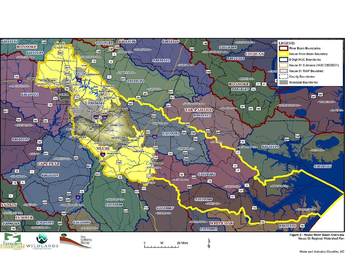
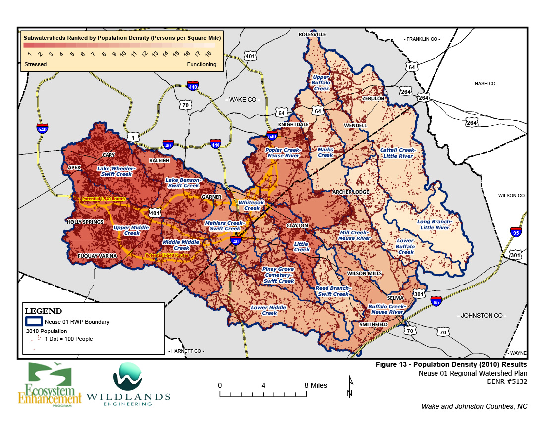
The Neuse 01 Regional Watershed Management Plan (RWP) study area encompasses 580 square miles of one of the most developed portions of North Carolina. Population growth and associated rapid development and future completion of the I-540 highway loop are major drivers for this watershed planning effort.
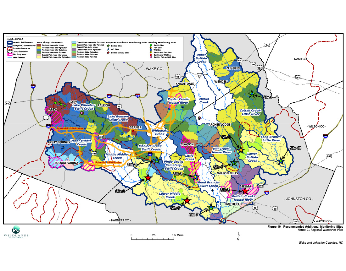
PHASE 1: Wildlands completed Phase I of the RWP in 2014, which included a preliminary assessment of ecological and water quality conditions based on GIS data, the prioritization of subwatersheds for more detailed assessments, development of monitoring and modeling strategies for Phase II, and identification of potential watershed improvement projects, including traditional stream, wetland, and riparian buffer restoration, urban stormwater BMPs, habitat preservation, and removal of barriers to fish passage.
PHASE 2: Wildlands has recently completed Phase II of the RWP. This phase included the application of Pilot Study Areas to determine the best combinations of potential projects to offset watershed stressors. Wildlands evaluated potential projects and developed multiple project concepts to demonstrate the types of treatment practices recommended. These included clusters of different practices to offset combinations of watershed stressors. Wildlands also coordinated a large stakeholder advisory group consisting of resource agency staff, local municipal representatives, county planners, and conservation district personnel. View the web map that Wildlands created for DMS, the stakeholder advisory group, and the public »
Category
Watershed Planning