
PROJECT SPOTLIGHT: McClure’s Bog Preserve Project
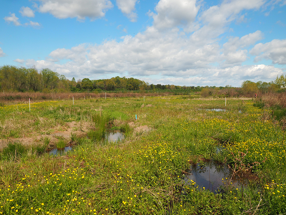
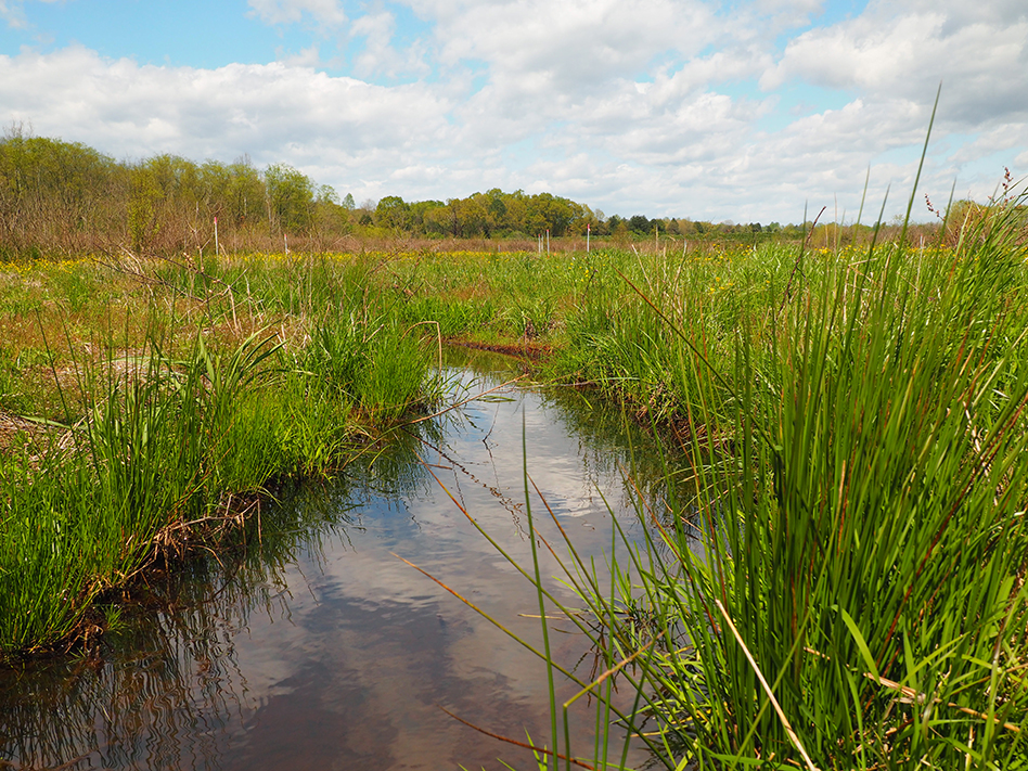
McClure’s Bog, a candidate for inclusion in the Mountain Bogs National Wildlife Refuge, is a French Broad River Valley Bog subtype and host to a suite of unique plant species and wildlife habitat and characterized by low nutrient groundwater-driven hydrology. Similar areas once existed in an extensive patchwork throughout the upper French Broad River Valley bottoms. Land use conversion practices, as well as changes to fire and other natural disturbance regimes, have severely impacted these features and in many cases eliminated them from the landscape. McClures Bog is one of several remnant areas with sustained populations of the unique species representative of this bog subtype. In recognition of this, McClures Bog was purchased for protection years ago, along with an adjacent natural stream corridor, by The Nature Conservancy (Conservancy) and the Natural Heritage Program of North Carolina (NC NHP). The bog has been, and continues to be, extensively managed by The Conservancy to preserve, and improve the sustainability of the species and habitats present.
The restoration project was constructed in the winter of 2019-2020 by South Core Environmental with oversight by Wildlands. The tiered wetland basins treat more than 1.5” of rainfall from the watershed, reduce surface runoff and nutrient and other pollutants to the bog, increase infiltration and create a more natural hydrologic regime and route high flows around sensitive areas of the bog. The site was treated for non-native invasive species prior to construction and planted post-construction with a robust and diverse suite of herbaceous, shrub and tree species to mimic other similar natural landscapes in the area. Post-project hydrologic monitoring and thermal groundwater investigation by University of North Carolina at Asheville (UNCA) has verified that the project successfully reduced stormwater inflows to sensitive plant areas and eliminated surface water runoff during most rainfall events.
The project was funded by the National Fish and Wildlife Foundation. The Conservancy and Wildlands lead a robust design and stakeholder team and process to execute the project. This team included Peak Hydrogeologic (groundwater testing), Joe Pye Ecological Consulting & Nursery (native plant and habitat restoration), KD Ecological (invasives plant management), US Fish & Wildlife Service, NC NHP, the US Army Corps of Engineers, NC Division of Environmental Quality (DEQ), Henderson County, Conserving Carolina, RiverLink, and UNCA Professor Jeff Wilcox and his students. Wildlands was the project manager and design-build lead, completing gage analysis, hydrologic and hydraulic modeling, visualization graphics and stakeholder coordination, stormwater design, permitting and adaptive management components and assisting with planting plans, invasive species removal scoping, and grant reporting.
Plant photos were taken by Emily Israel, Stewardship Coordinator for Wildlands, who was involved in invasive species management at McClure’s Bog under a prior engagement. Emily is dedicated to protecting North Carolina’s natural resources and land stewardship by contributing invaluable work to the conservation sector.


