Unique ‘Pink Sundew’ plant spotted at Wildlands‘ Devil’s Racetrack Mitigation Site
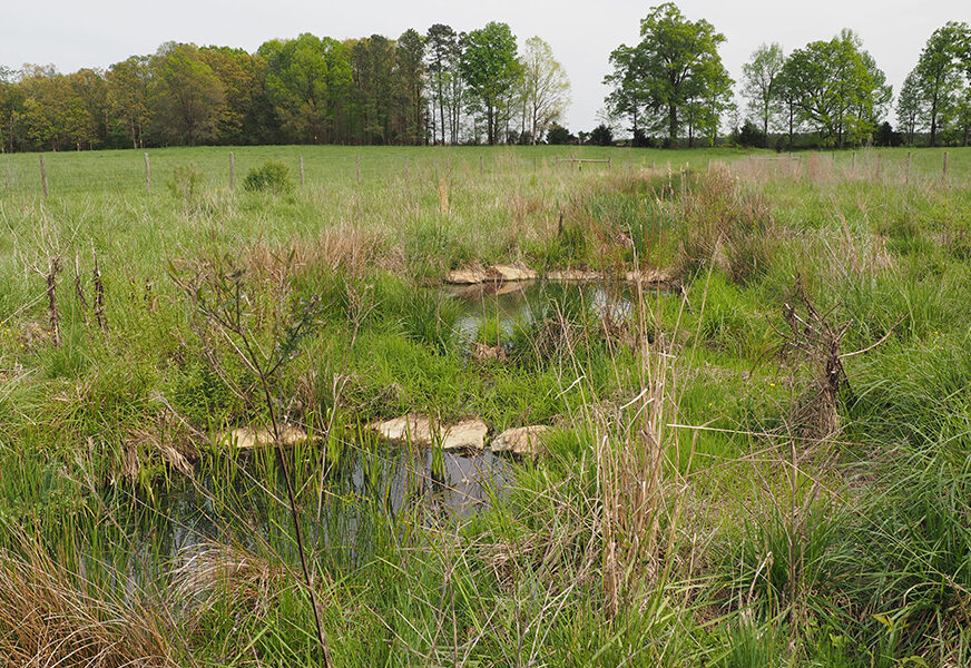
This spring, Wildlands’ land stewards found a new population of pink sundew (Drosera capillaris) within a restored wetland at our Devil’s Racetrack Mitigation Site. The pink sundew is a carnivorous, perennial plant found in pine savannas and wet, peaty areas. They are low-lying plants with rounded traps of sticky, tentacle-like leaves to hold their insect prey. This specimen was the first such sighting at the site and is also believed to be the first county record of the species (LeGrand et.al., 2021). Prior to restoration, the site was in agricultural production for decades. Seeing this plant recolonize after so many years in agriculture is truly remarkable!
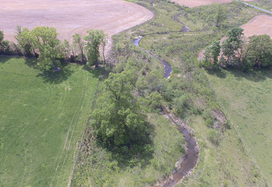
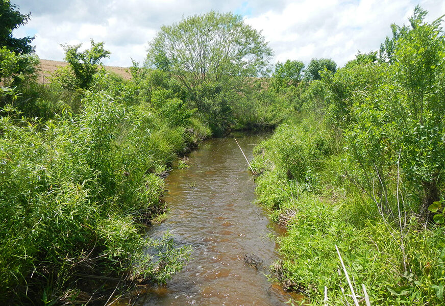
The Devil’s Racetrack Mitigation Site successfully reached the close-out milestone in August 2021 and is now in long term stewardship.
Source: LeGrand, H., B. Sorrie, and T. Howard. 2021. Vascular Plants of North Carolina [Internet]. Raleigh (NC): North Carolina Biodiversity Project and North Carolina State Parks. Available from https://auth1.dpr.ncparks.gov/flora/index.php.