PROJECT SPOTLIGHT: Shulls Mill Dam Removal and Watauga River Restoration

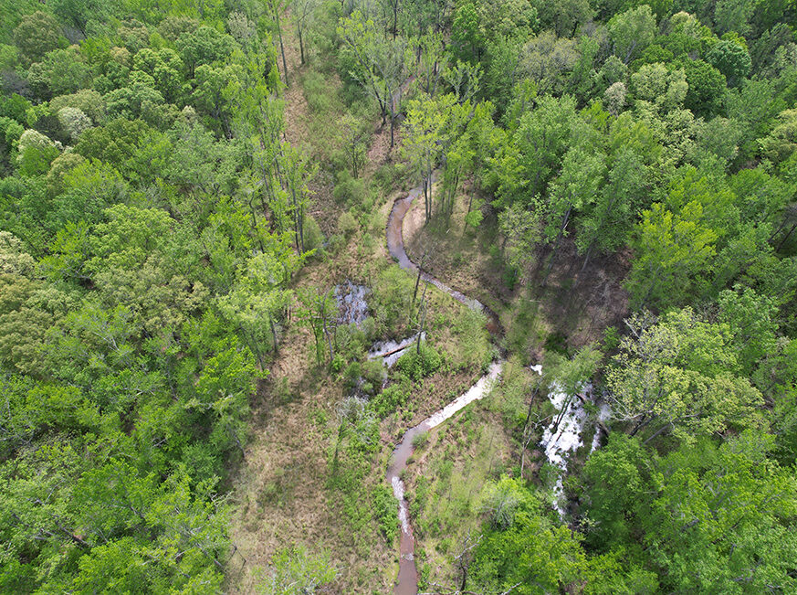
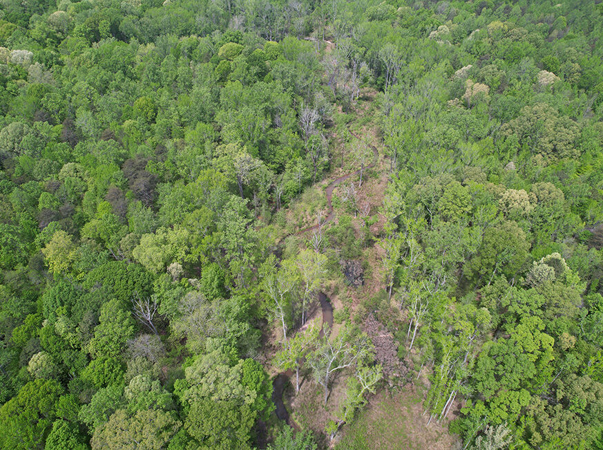
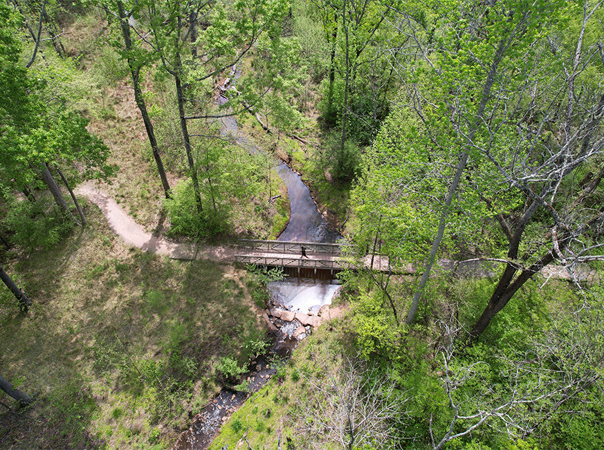
The Shulls Mill Dam Removal is complete! Wildlands worked with MountainTrue, American Rivers, and the Wildlife Resources Commission to complete design, permitting, construction oversight, and post-construction activities for this exciting aquatic connectivity project, which opened up over 84 miles along the Watauga River in Western North Carolina. The partially breached concrete dam, which dates back to 1910, was removed between June 27 and July 10th by the US Fish & Wildlife Service Aquatic Restoration Team, who contributed funding and in-kind construction services to execute the removal. Appalachian State University assisted in relocating Hellbenders before the removal (check out this great article published by WFAE about the relocating process of the Hellbenders found onsite – CLICK HERE). They also assisted with fish and crawdad rescue during the removal process.

The removal process involved planning for the relocation of sand, gravel, and fine sediment that could adversely impact downstream habitat. In addition, a severely eroding bank with invasive plants was restored to a stable condition to allow for native revegetation. Kee Mapping & Surveying and Appalachian Landslide Consultants assisted with mapping and geologic interpretation using LiDAR and test pit sampling. The data collected was used by Wildlands Engineering (Wildlands) to prepare dam removal and river restoration sequencing and to design the new alignment of the restored river channel to address erosion and sedimentation and to promote long-term stability and habitat quality in the reach. Wildlands collaborated with Ecoforesters to treat invasive Japanese knotweed on the site. In order to permit the project, Wildlands Engineering prepared floodplain, erosion and sediment control, trout buffer waiver, NCDOT, and 404/401 permits. These efforts were supported by a stakeholder engagement process led by Wildlands to gather input from regulatory and resource agencies and determine an approach that would protect downstream habitat from the impounded sediment behind the dam, among other regulatory requirements.

A huge thanks to Wildlands Construction, which helped with test pit sampling, tree clearing in the winter to avoid impacts on bats, and construction phase assistance with traffic control, temporary crossings, and other materials management to make this project successful!

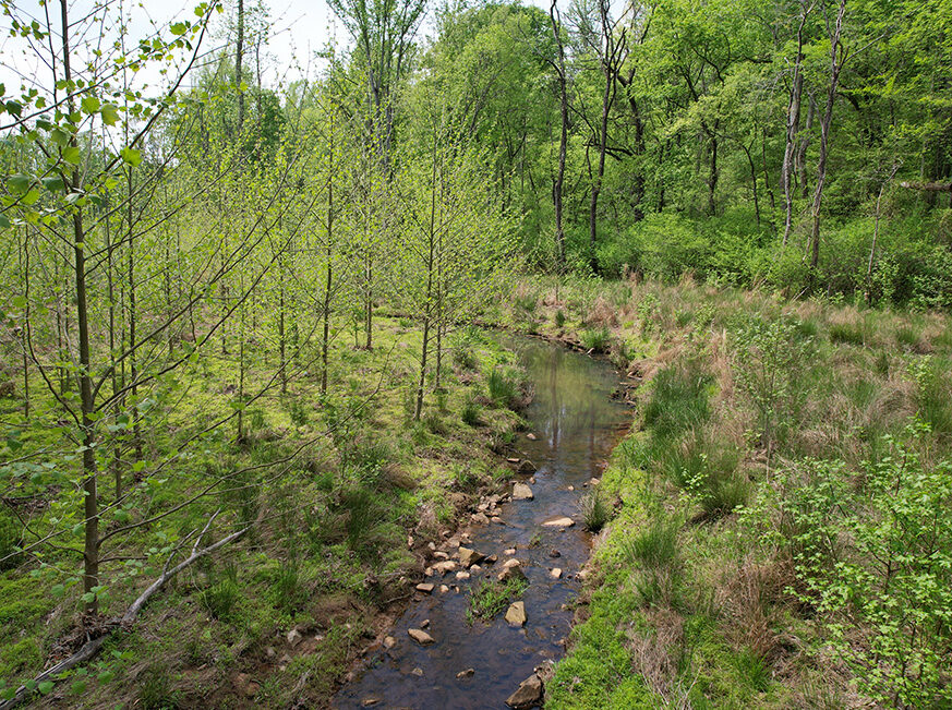
Similarly to the previously completed Ward’s Mill Dam Removal Project that Wildlands also completed in 2021, the Shulls Mill Dam Removal will have beneficial impacts for years to come. The endangered hellbender will be able to travel upstream of the dam, along with fish and mussels. The Watauga River is also a recreational centerpiece of the high country, where flyfishing, kayaking, swimming, and tubing are popular activities. Removing the dam will allow safe passage for recreational users without the drowning hazard caused by the retentive hydraulic created by low-head dams. After the removal, approximately 400 feet of the stream was restored, and native vegetation was planted (following the treatment of invasive species), providing valuable habitat and food for local animals.

File:Natgeologo.svg - WikipediaThis project has received significant attention for its impactful outcomes, earning the distinction of being featured in a National Geographic article!


Stewardship Corner | Allelopathy – ‘The Chemicals Between Us’

Ever wonder how a single species can dominate an area and lead to a monoculture, where diverse neighbors are sparse? The answer might lie in allelochemicals.

Allelopathy describes how organisms produce biochemical compounds, known as allelochemicals, that influence the germination, growth, survival, and reproduction of nearby species. This process is essentially a form of chemical competition aimed at boosting the organism’s own survival and reproduction. Without getting too in the weeds, allelopathy is a form of chemical competition.

In allelopathic plants, these compounds can be released through leaves, stems, fruits, or roots. They enter the soil through root exudates, runoff from rain, or decomposing plant matter. Some plants also release allelochemicals into the air, adding another layer to this chemical competition.READ MORE

Urban Growth and Flood Resiliency: Navigating Environmental and Social Challenges in Urban Settings

Wildlands is embarking on a series of Flood Resilience articles that delve into flood-resilient projects’ social and environmental challenges and opportunities. This article specifically focuses on urban landscapes, the backdrop for some of our society’s most pressing challenges and promising opportunities.

With all the benefits of urban development, there are various environmental and infrastructure management challenges, intermingled with social challenges that all present as important considerations in our environmental restoration, recreational, and community enhancement work. They range from increased risk of flooding to impacts on water quality and aquatic habitat degradation and displacement. However, as cities continue to expand and redevelop, the need for effective flood mitigation, water quality, and ecological restoration solutions to manage these development impacts is gaining an increasing amount of recognition. These solutions, when implemented, can bring about a positive change, improving the environment and our quality of life, instilling hope for a more resilient and sustainable future.READ MORE

Reedy Creek Stream Restoration Project receives final credit release!

We are thrilled to announce that the Reedy Creek Stream Restoration Project has received its final credit release! As the first-ever design-build project to generate stream and wetland mitigation units for the City of Charlotte Umbrella’s Mitigation Bank, this is an impressive milestone for Wildlands and the City. This project successfully transformed deeply incised and eroded channels into natural, stable streams within a thriving ecosystem and expanded the City’s contract delivery options for mitigation credits!


Thanks to our client’s support and team members’ collaborative efforts, we restored over 26,000 linear feet of stream and six acres of wetlands. With the enhanced natural habitats and beautiful nature trails, this project serves as a serene retreat within city limits. Join us in celebrating this major achievement for our company and the City of Charlotte!


The Wildlands Engineering Team continues to make an impact in our communities

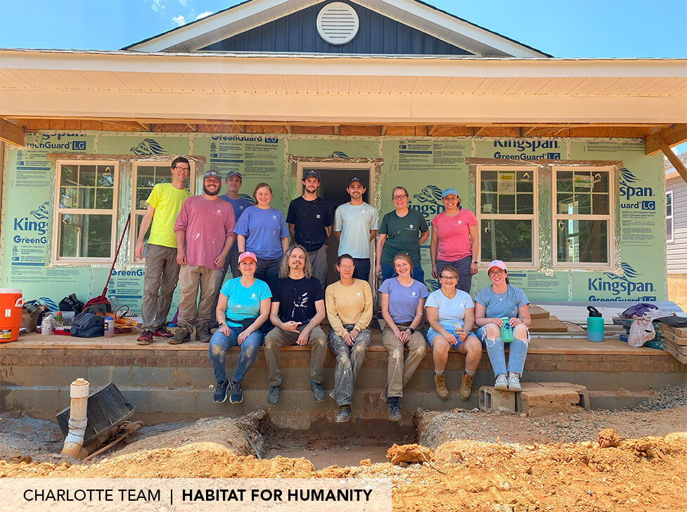
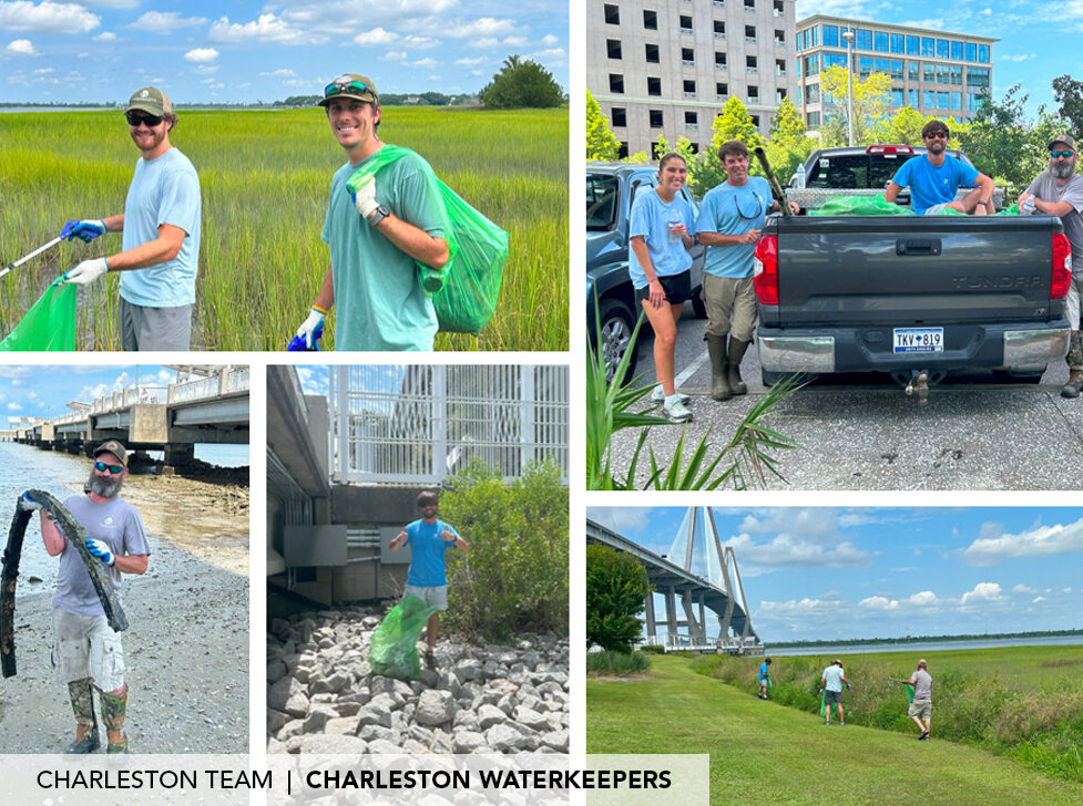
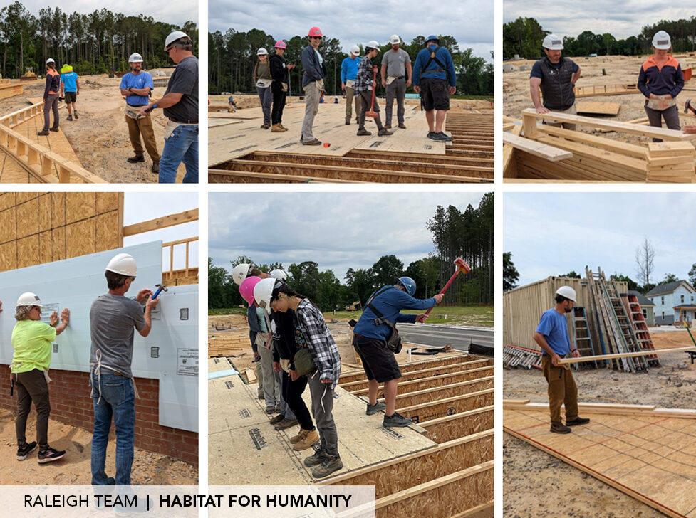
Wildlands recently wrapped up another year of charitable endeavors, impacting over 30 unique organizations through dedicated volunteer efforts and substantial financial contributions.

Through Wildlands’ One+One Initiative, each employee is allotted eight hours per year for community engagement. Since this program’s inception in 2015, the enthusiasm of our team members has been the driving force behind the success of our One+One Initiative. From helping to build affordable houses to participating in writing letters to school-age kids, our team members donated over 560 hours of their time in the past year alone, demonstrating a collective commitment to impacting our surrounding communities. Companywide, 76% of the allotted hours for volunteering were utilized, which reflects the dedication and generosity of our team in supporting meaningful causes and making a tangible impact within our communities.

As we look ahead, our goal is to expand the reach of our program, partnering with new organizations and working towards alleviating pressing needs in our communities. By fostering a culture of giving back, we aim to not only enhance our company’s social footprint but also inspire others to make a positive impact in their communities. Here’s to making a great impact in 2024!

This past year, Wildlands supported and sponsored a classroom for the Letters to a Pre-Scientist program. Through penpalship, this organization has given many of Wildlands’ employees the ability to connect with students from all over the country and inspire them to explore a future in the environmental and water resources industry. Click here to read more about our scientists’ inspiring experience with this program »


Stewardship Corner | Mosses, Liverworts, and Lichen

From the Stewardship Corner | Mosses, Liverworts, and Lichen

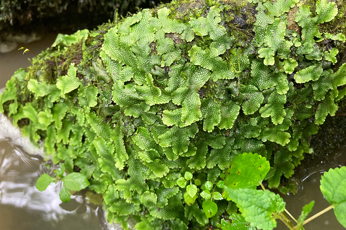
An often-overshadowed part of the plant kingdom, mosses, liverworts, and hornworts, make up a small world of their own in ecological communities. Often found growing on stones, stumps, and moist shady corners, these organisms play a quiet but vital role in initiating soil formation, slowing water passage, and recycling nutrients. They also provide habitat for macroinvertebrates, and for them, a mossy mat might feel like a fully grown forest. Unlike other plants, these green fuzzy mats do not form vascular systems that can move nutrients and water throughout their bodies, they instead rely on water and nutrients to come to them. This is why you often find them growing in wet, damp, low lying areas where water and moisture can find them.

Like ferns – mosses, liverworts, and hornworts do not produce flowers or seeds, and instead reproduce through spores. Because of their simpler requirements, these plants can grow where nothing else can, and often act as a pioneer species setting the stage for ecological succession. Their spores can travel miles before landing and spread by the millions. They are also a great indicator of air quality due to their sensitive nature, a welcoming sign while on a walk in the woods.

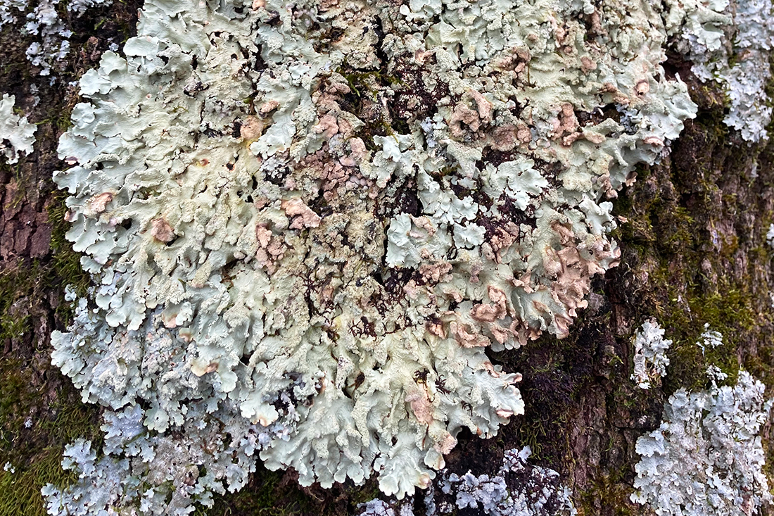
Lichen is another great indicator of air quality, and although they might look similar and grow alongside their counterparts, lichen is a wholly different form of fascinating life. Lichen is the result of a mutualistic relationship between algae and fungi. While they are not a plant, they still perform photosynthesis as a composite organism. Small but mighty, these species are considered to be keystone species in many ecological communities. How many different species of mosses, liverworts, hornworts, and lichen have you come across recently?

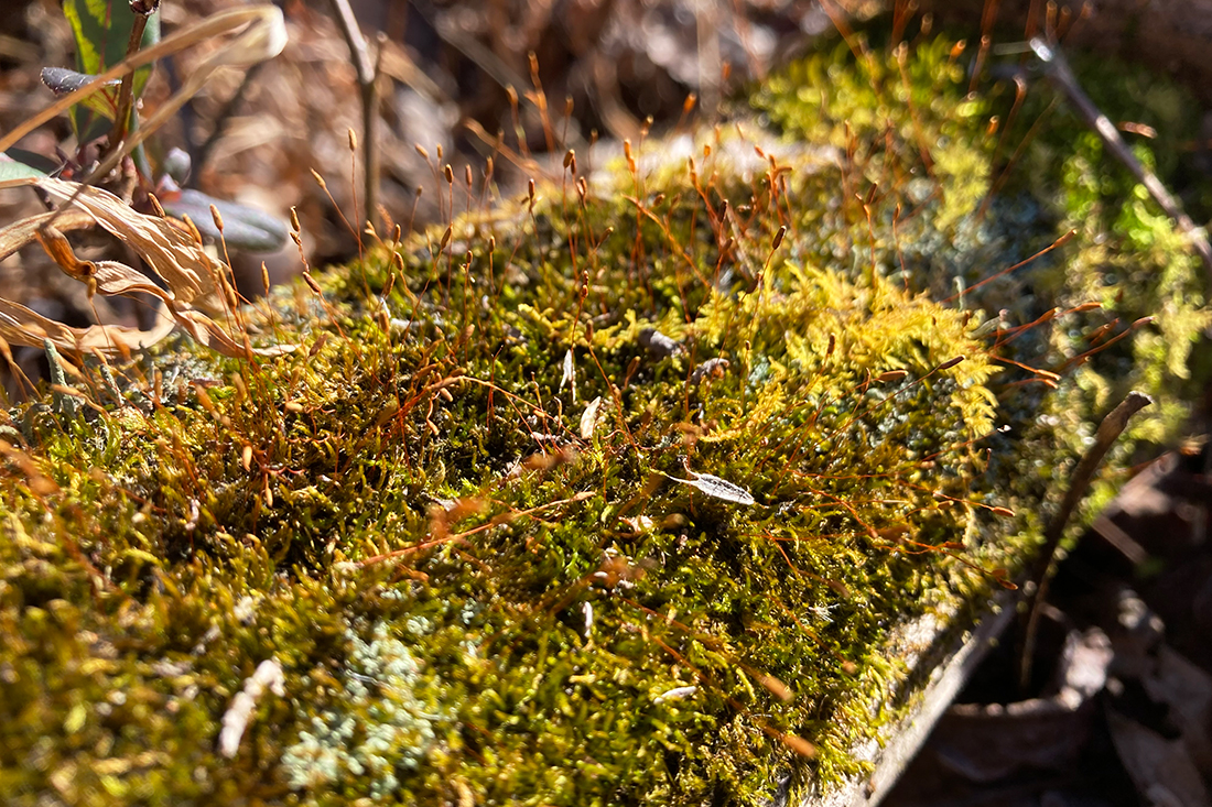
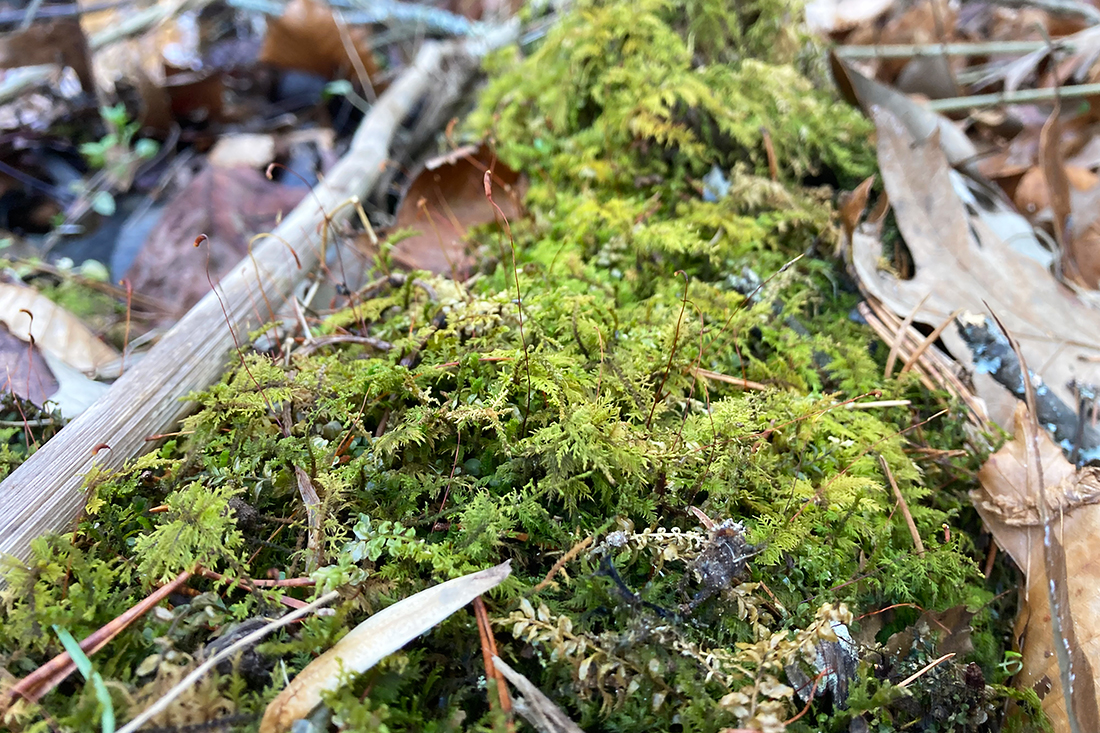
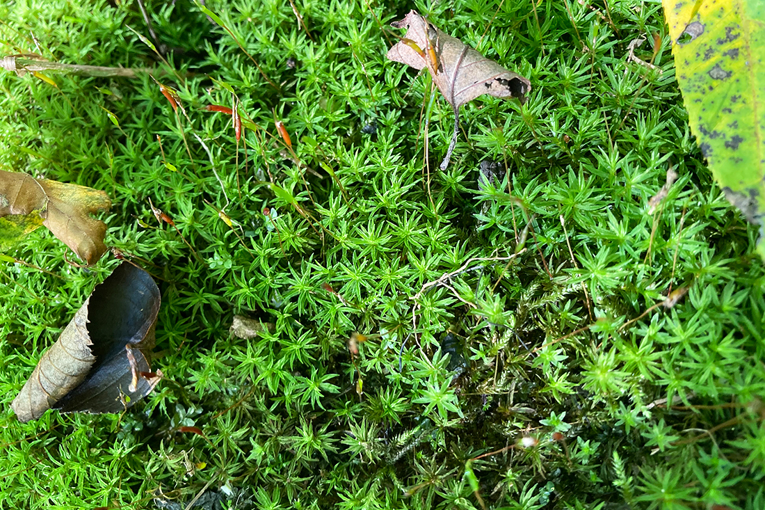
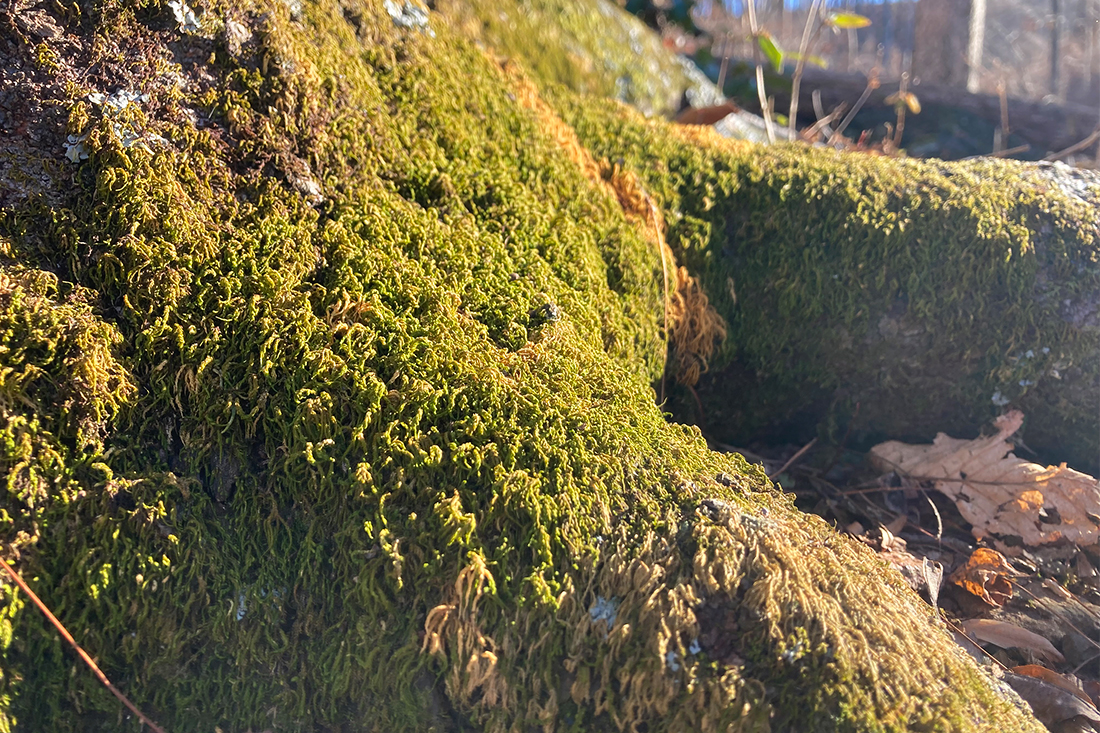
Pictured from Wildlands project sites:

  1. Tortula Moss (Tortula muralis) – Honey Mill Mitigation Site, Surry County, NC
  2. Delicate Fern Moss (Thuidium delicatulum) – Key Mill Mitigation Site, Surry County, NC
  3. Star Moss (Syntrichia ruralis) – Alexander Farm Mitigation Site, Alexander County, NC
  4. Broom Forkmoss (Dicranum scoparium) – Honey Mill Mitigation Site, Surry County, NC
  5. Medusa Moss (Hedwigia ciliata) – Carpenter Bottom Mitigation Site, Gaston County, NC
  6. Great Scented Liverwort (Conocephalum conicum) – Carpenter Bottom Mitigation Site, Gaston County, NC
  7. Lichen (Parmeliaceae) – Lone Hickory Mitigation Site, Yadkin County, NC

📸 Photos by Dominic Dixon, Stewardship Associate | Charlotte, NC Office

  • Tortula Moss (Tortula muralis) – Honey Mill Mitigation Site, Surry County, NC

#wildlandsengineering #stewardshipcorner #ecology #landstewardship #moss #nonvascular #habitatbuilding #environmentalscience #streamrestoration #wetlands #conservation #lichen #liverwort

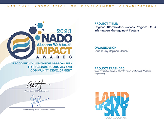
Wildlands plays a role in the 2023 NADO Award for Land of Sky Regional Council Project

The Land of Sky Regional Council (LOSRC) was recently awarded the 2023 NADO Aliceann Wohlbruck Impact Award for their project “Regional Stormwater Services Program – MS4 Information Management System.” The system was configured by Wildlands Engineering for LOSRC who funded and deployed this technology across multiple jurisdictions (Fletcher, Woodfin, Black Mountain, and Weaverville) for a fraction of the cost of typical management systems. It provides a low-cost alternative for smaller jurisdictions that do not use a digital asset management system for stormwater infrastructure.

The MS4 Information Management System is a low-cost alternative for smaller jurisdictions that do not use a digital asset management system for stormwater infrastructure. The MS4 Information Management System is an integrated documentation system for stormwater outfall inspections – both for identifying maintenance needs and for discovering possible illicit discharges; it can also be used for reporting.

The system is built on the esri GIS platform and centrally hosted and managed in ArcGIS Online (AGOL) by LOSRC. Proactive stormwater management is crucial to protecting water quality. LOSRC aims to map all the stormwater systems in the region and uses this system to provide a simple field-based mobile app to support inspections and maintenance. Communities can access the platform anywhere and it’s designed to be used on a tablet or smartphone in the field. The system consists of inspection forms (ArcGIS Survey123), a locationally aware mobile map (ArcGIS Field Maps), and the stormwater system inventory (AGOL). Surveys documenting illicit discharges and/or high priority storm maintenance requirements will trigger an email to the corresponding town public works director. Survey123 also consists of a web-application that provides a data dashboard to review and report on the information collected with the inspection forms.

In the future, the system can be expanded for additional MS4 permit requirements (e.g., SCM inspections, catch basin cleaning, facility, and pavement management).

Wildlands looks forward to providing more quality, accessible, and functional online mapping tools for future clients!

#NADO #award #wildlandsengineering #stormwater #waterquality #ArcGIS #mappingtools #landofsky #ashevillenc #GIS

A Day in The Life of a Wildlands Environmental Scientist

At Wildlands Engineering we work together to facilitate the success of each project, something that would not be possible without the help of our environmental scientists! Their valuable work and dedication to collecting field data are integral to every phase during the life of a project.

Each challenge in the field and in the office is a rewarding opportunity to bolster knowledge and promote the best practices that will help us conserve and restore the environment. No matter the task or assignment, our main goal is to leave the project we restore in better shape than we found it, making a positive and sustainable impact.

Learn more by hearing from our scientist on what it’s like for a ‘day in the life of an environmental scientist!’

From the Stewardship Corner: Words from one of our Land Stewards

In 2020, Wildlands introduced our Land Stewardship Team as an avenue to taking a more holistic and tailored approach to the management of each mitigation site and its unique needs. Wildlands identified the importance of vegetation establishment to long term success in stream and wetland restoration projects, and as a result implemented the stewardship team. These individuals are tasked with facilitating the achievement of site monitoring goals housed within the company. The addition of the stewardship team allows for immediate, dynamic, and ecologically strategic responses to issues relating to the biological integrity of mitigation projects overseen by Wildlands, as well as increased assurance in the quality of stewardship tasks such as invasive species removal, the establishment of diverse native vegetation, and the rehabilitation of soil health.

Our sites have flourished under the watchful eye of our land stewards. They bring their distinct sets of expertise to identify and improve our projects through nature-based solutions. Through the newness of the stream and wetland mitigation industry, it lends itself inherently to innovation. Criteria of stream restoration projects, namely the stability of restored streambanks, converge in the success of the vegetation within riparian buffer zones.

Let’s catch up with one of our land stewards, Andrew Lemon, as he describes his experiences working for Wildlands out of our Raleigh office.


“My first experience with the mitigation industry was as a Land Stewardship Intern at Wildlands over the Summer of 2022. Being able to experience firsthand the knowledge and care with which our stewards handled their sites was inspiring and influential to me personally and professionally. I was incredibly grateful to be offered a full-time position on the stewardship team as a Stewardship Technician upon my graduation from UNC-Wilmington and the opportunity to return to the fold to hone my own skills in restoration focused land management.


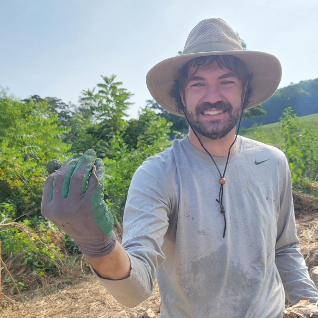
Andrew Lemon in the field holding a tiny snake!

I found myself especially excited by what the novelty of the Wildlands stewardship model entails, a new form of land management entirely. Stewards are generally able to navigate sites by memory, through thick vegetation and swampy terrain. Stewards are adept in recognizing patterns, and subsequently adapting management strategies to be harmonious with the natural cycles of our sites. Seeding native grasses and forbs in accordance with the rain and timing treatments of invasive species with growth cycles are just a few common examples of ecologically driven land management activities. Sites are not seen as one-size-fits-all generators of stream and wetland credits, but are approached holistically, with a sense of reverence that these crucial ecosystems deserve.

While environmental stewardship existed long before the stream and wetland industry, long before streams and wetlands were impaired to the point of requiring restorative measures, the personal touch provided to sites under the care of Wildlands sets a standard previously unforeseen in the private sector restoration industry.”


PROJECT SPOTLIGHT: Southside Community Stormwater Improvement Project

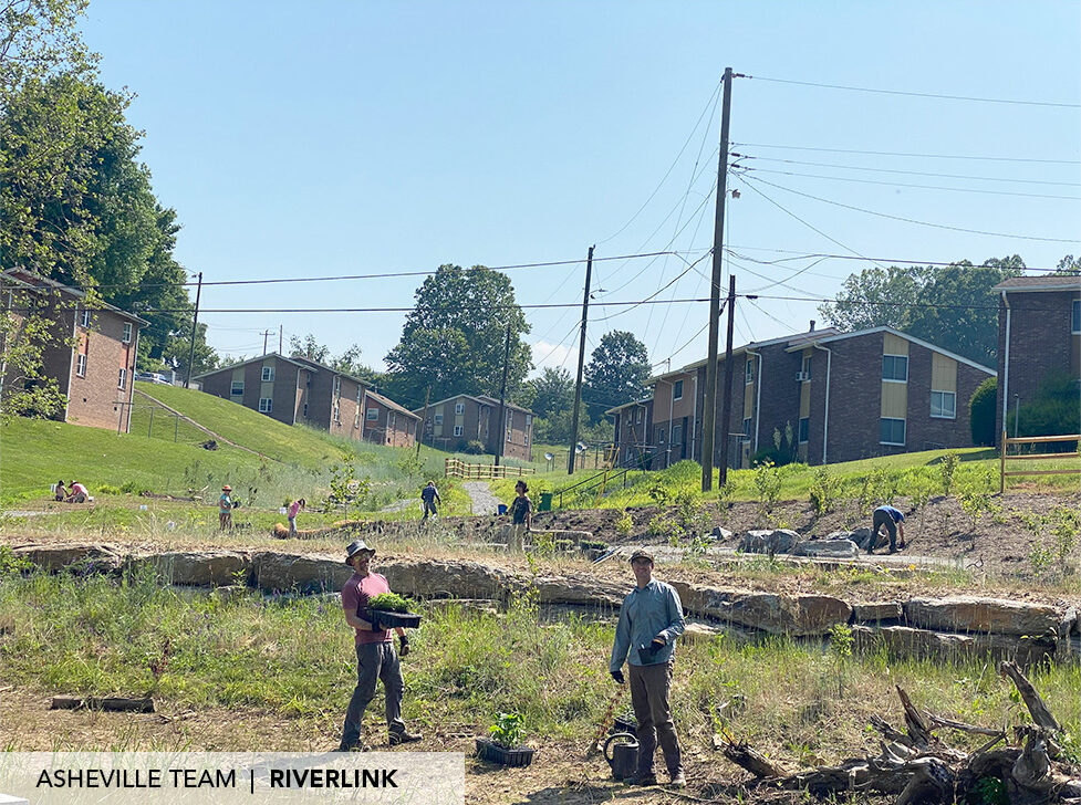
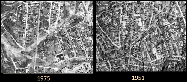
Since 2019, Wildlands Engineering (Wildlands) has been working on several green infrastructure project initiatives with our long-time partner RiverLink, a watershed group with the mission of promoting the environmental and economic vitality of the French Broad River and its watershed. Wildlands recently completed the Central Asheville Watershed Restoration Plan for Riverlink, which consisted of project identification and developing an interactive watershed plan. Within the watershed plan, projects were identified in multiple subwatersheds, including Nasty Branch which runs through the Southside Community. In the 1960s and 1970s, this and other nearby black communities were negatively impacted by urban renewal projects, which left a profound impact on the social structure and well-being of the community.

Over 1300 businesses and homes were lost from the Southside Community between the 1960’s and 1970’s.


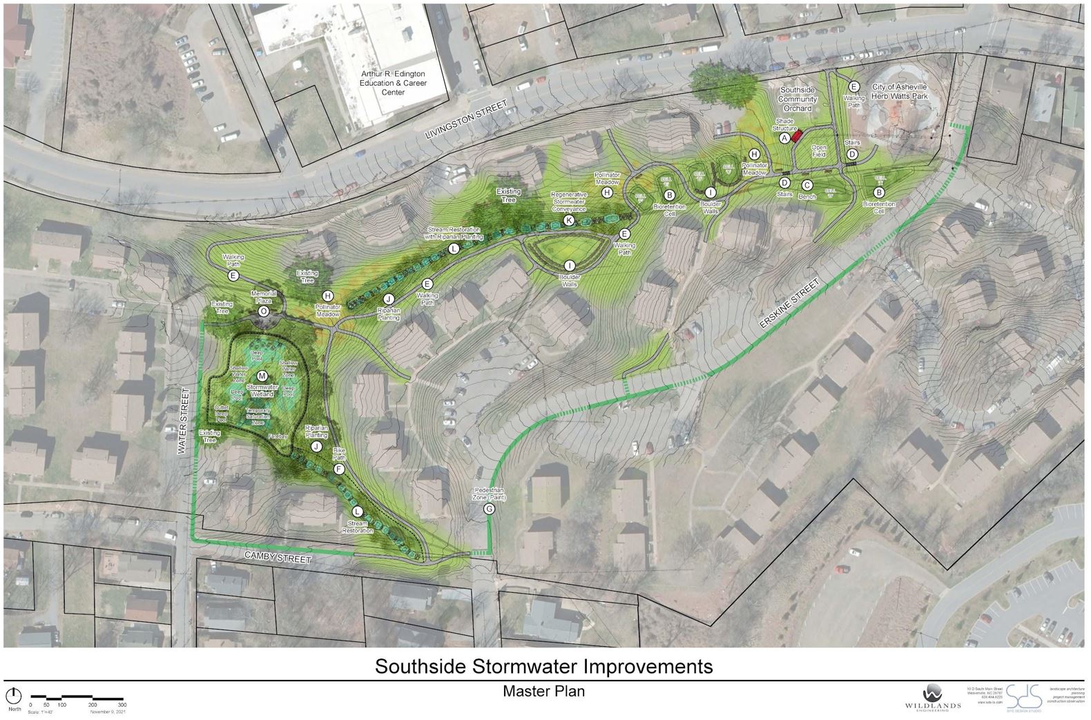
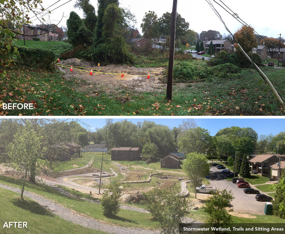
Among the many projects identified, one stood out for its apparent need of creating a more functional space, safe environment, and resilient infrastructure at the Erskine Apartments – located along Livingston Street in the heart of Southside. The watershed plan identified proposed activities to target a drainage issue in the cul de sac on Water Street where water was seeping onto the road resulting in a bad odor and unsafe conditions, particularly in winter.  After further evaluation of the site and its contributing drainage and infrastructure, a multifaceted project was proposed to address multiple community needs as well as provide stormwater management to improve water quality in Nasty Branch.

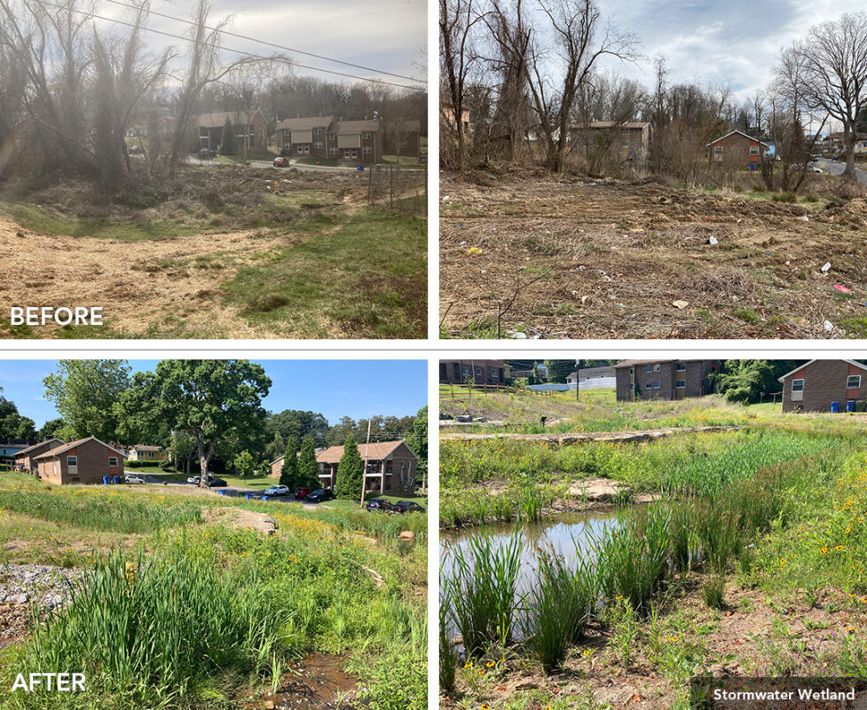
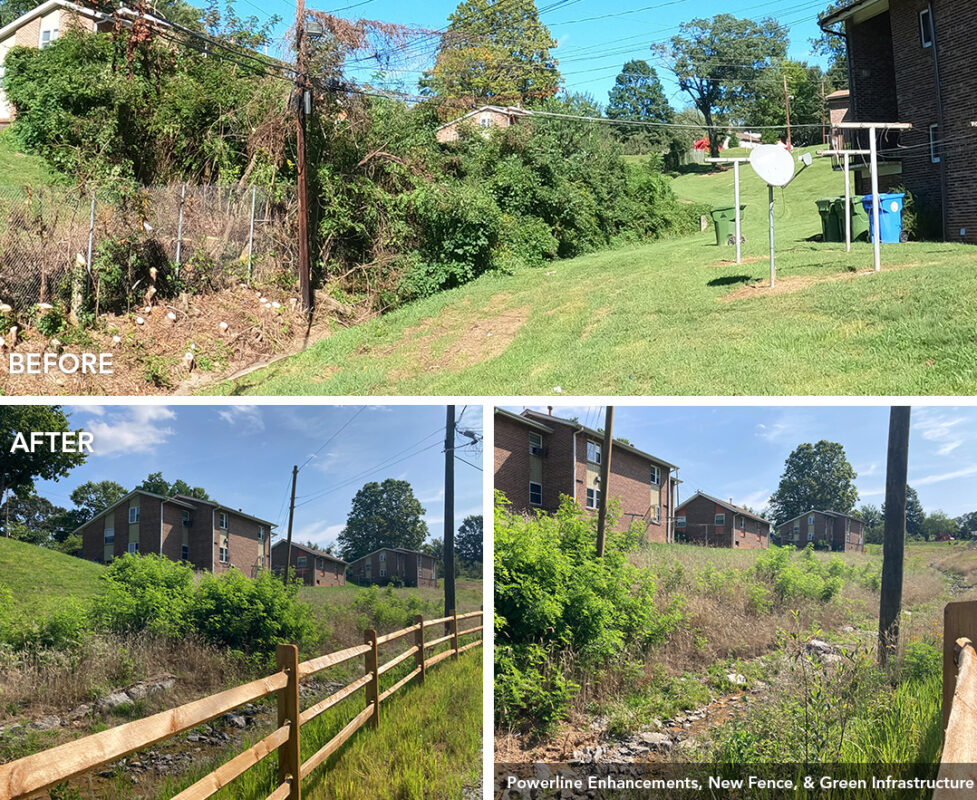
In addition to the drainage issue, concrete stormwater swales and corrugated metal pipe systems from the original apartment construction in 1969 were failing, a powerline behind residences was very low to the ground creating an unsafe feeling environment, and areas of dense invasive vegetation created unusable spaces and consumed native trees and vegetation. Discussions with community leaders, meetings in the park, and door to door efforts lead to a list of community needs and desires that were assembled into a cohesive improvement plan to address as many considerations as possible.

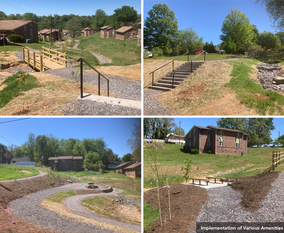
Wildlands helped prepare technical information for grants to fund the project. Multiple entities contributed funding to the project including the apartment owner, the Asheville Housing Authority. The project used stormwater control measures called regenerative stormwater conveyance (RSC) channels to replace pipe and concrete ditches. These incorporate sand-based media to provide additional water quality treatment. Rain gardens and a stormwater wetland were implemented to capture parking lot and rooftop runoff; a french drain routed subsurface flow into the stormwater system to resolve road seepage; a power line relocation addressed the low overhead line; and trails and sitting areas for contemplation and to honor lost loved ones were incorporated into the project. The paths and a bridge over the RSC channel connect kids and community members to the nearby park, community center, school bus stops, and other nearby destinations. For more information, visit RiverLink’s Project Page »