
May 12, 2022
In
Our Projects
PROJECT SPOTLIGHT: Hendersonville Multi-Area Streambank Restoration Project
Wildlands recently completed the Hendersonville Multi-Area Streambank Restoration Project, which involved 11,000 linear feet across 13 sites on Mud Creek, a state listed 303(d) stream. Funded by NCDEQ as a City Green Infrastructure Project, Wildlands partnered with Kee Mapping and Baker Grading to take this large, multi-phased project from initial feasibility through construction and monitoring. Project highlights included:
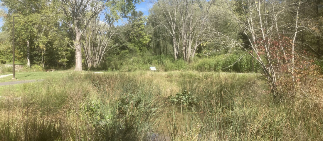
- The largest of the 13 sites was designed as a model/pilot project for urban stream and floodplain restoration. Receiving runoff from a Walmart, apartments, and I-26, the stream was overly wide and eroding. The design and construction resestablished floodplain connection using native materials for fish habitat structures as well as grade control.
- Wildlands used ArcGIS online (AGOL) as: a communication tool between staff, the landowners, and the City; to document construction progress and survey; and for monitoring required by NCDEQ and Corps of Engineers. Wildlands’ Senior Environmental Scientist Scott Gregory, GISP notes that, “Using AGOL allowed us to efficiently track all data through successive project stages. All data, from initial landowner requirements to construction changes, was organized geospatially throughout the project and available with just a click.” Check out screenshots from the AGOL application, below.
 Real-time easement acquisition tracking by the City and stakeholders prior to project implementation


